MATLAB® Recipes for Earth Sciences
MATLAB® is used in a wide range of applications in geosciences, such as image processing in remote sensing, generation and ...
Lee mas
Measuring Precipitation from Space
More than 20 years after the last book on the subject the worldwide precipitation community has produced a comprehensive ...
Lee mas
Moment Analysis for Subsurface Hydrologic Applications
This book deals with the concept of moments, and how they find application in subsurface hydrologic problems-particularly ...
Lee mas
Nonlinear Dynamics in Geosciences
Nonlinear Dynamics in Geosciences is comprised of the proceedings of "20 Years of Nonlinear Dynamics in Geosciences", held ...
Lee mas
Nonlinear Physical Oceanography
Taken from a review of the first edition in SIAM:"This text is different from most others in that it combines several different ...
Lee mas
Object-Based Image Analysis : Spatial Concepts for Knowledge-Driven Remote Sensing Applications
This book discusses means, technologies and approaches related to the processing and analysis of multi-sensor, multi-resolution ...
Lee mas
Open Source Approaches in Spatial Data Handling
The role open-source geospatial software plays in data handling within the spatial information technology industry is the ...
Lee mas
Open Source GIS : A GRASS GIS Approach
With this third edition of Open Source GIS: A GRASS GIS Approach, we enter the new era of GRASS6, the first release that ...
Lee mas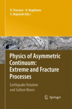
Physics of Asymmetric Continuum: Extreme and Fracture Processes : Earthquake Rotation and Soliton Waves
In this book we include relations not only for the displacement velocities but also for a spin motion and basic point deformations ...
Lee mas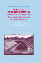
Practical Hydroinformatics : Computational Intelligence and Technological Developments in Water Applications
Hydroinformatics is an emerging subject that is expected to gather speed, momentum and critical mass throughout the forthcoming ...
Lee mas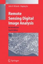
Remote Sensing Digital Image Analysis
Remote Sensing Digital Image Analysis provides the non-specialist with an introduction to quantitative evaluation of satellite ...
Lee mas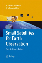
Small Satellites for Earth Observation
This book deals with different aspects of small satellites for Earth observation: programmatics, current and planned Earth ...
Lee mas
Spatial Data on the Web
Spatial data is essential in a wide range of application domains today. While geographical applications remain the key target ...
Lee mas
VI Hotine-Marussi Symposium on Theoretical and Computational Geodesy
This volume of proceedings is a collection of refereed papers resulting from the VI Hotine-Marussi Symposium on Theoretical ...
Lee mas
geoENV VI - Geostatistics for Environmental Applications : Proceedings of the Sixth European Conference on Geostatistics for Environmental Applications
This volume contains how geostatistics is applied within the environmental sciences. A few selected theoretical contributions ...
Lee mas